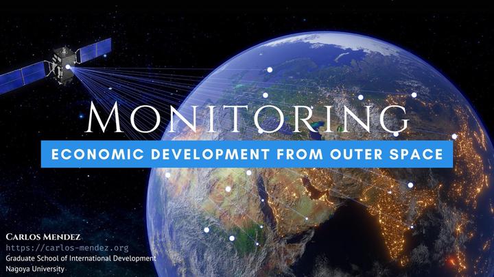
Monitoring economic development from outer space

Abstract
This presentation examines the use of satellite images to understand and predict economic activities. Beyond nighttime lights, significant development gaps within countries are observable through satellite data. The integration of large-scale geospatial data, including daytime images and GIS layers, enhances our understanding of poverty across multiple dimensions and scales. The combination of survey data with satellite imagery provides a more comprehensive tool for predicting and understanding economic development.
Date
Sep 4, 2024 10:10 AM
Location
Tokyo, Japan
Slides by Carlos Mendez