AI-Assisted Learning and Research: Production, Verification, and Tool Integration
Keynote Speaker, Annual Meeting of the Nagoya University Alumni Association, Thailand Branch
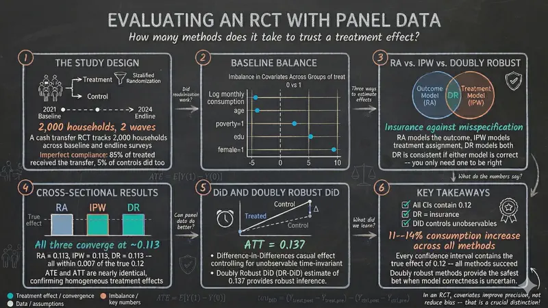
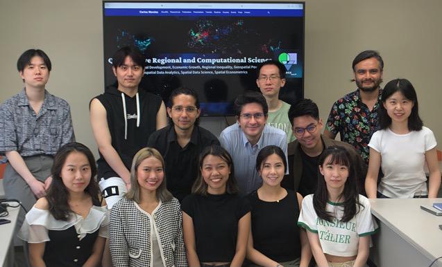
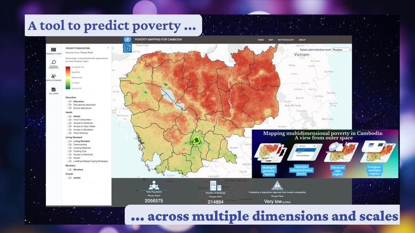
Insights from Geospatial Big Data, Development Economics, Spatial Econometrics, Spatial Machine Learning, and Causal Machine Learning
When, where and why development occurs…
After studying Commercial Engineering in Bolivia and Chile, I worked as a consultant for Pro-Mujer International, The World Bank, DANIDA, and JICA. I have a M.A. and a Ph.D. in International Development from Nagoya University, Japan. My research interests focus on the integration of development economics, spatial data science, and applied econometrics to better understand and inform the process of sustainable development across regions. My current research deals with (1) geospatial big data analytics and socioeconomic development; (2) geospatial inequality, poverty, and growth interactions; (3) regional infrastructure and mobility flows; and (4) spatial structural change and productivity dynamics.
Download my CV.
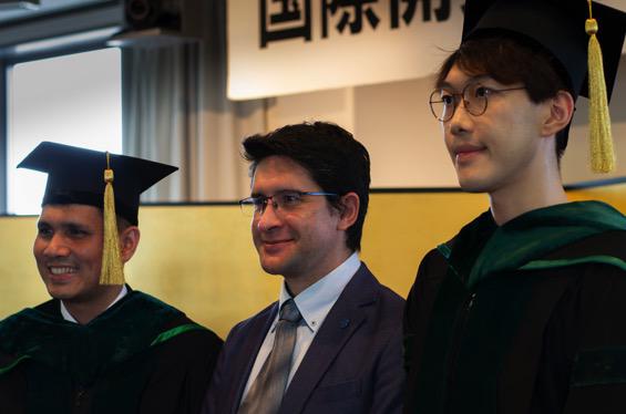
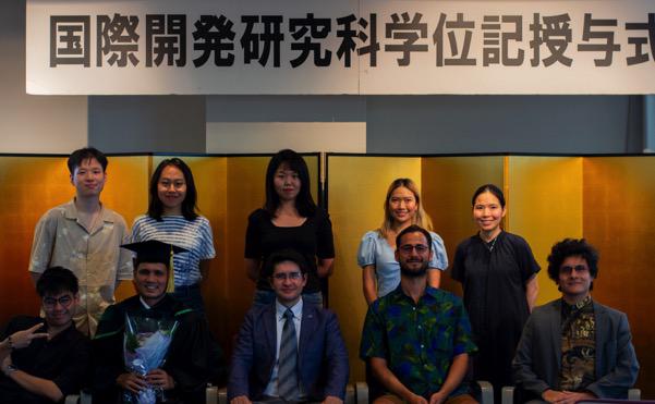
PhD in International Development, 2015
Nagoya University
MA in International Development, 2012
Nagoya University
Lic in Commercial Engineering, 2008
Bolivian Catholic University

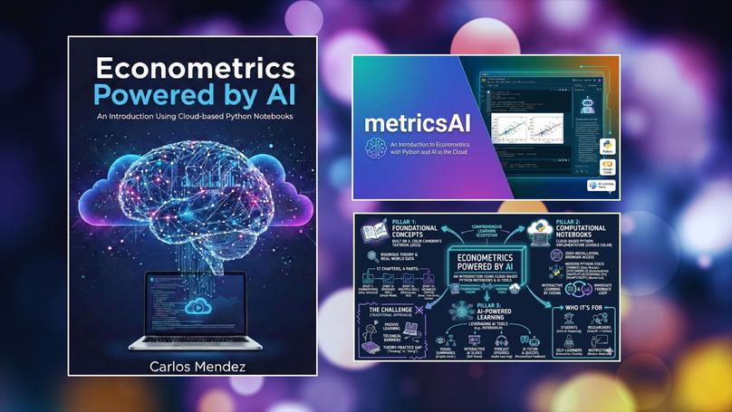
Hands-on econometric tutorials in Python, R, and Stata